An AI solution to vegetation management through Lambda

Project Overview
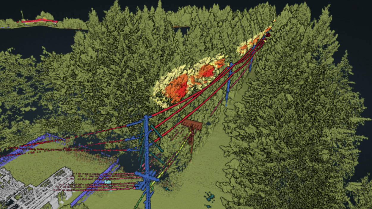
A large powerline inspection company had a requirement for a satellite based vegetation management solution for distribution lines in West Africa. Objective of the project was to demonstrate efficacy and accuracy of AI solution using high-resolution satellite imagery for encroachment detection and trim cycle planning.
For our client, vegetation encroachment posed a persistent threat, potentially leading to outages and safety hazards.
Our Solution
Concept X delivered the end-to-end solution, including data acquisition of high-res, stereo, multispectral imagery from satellite partners. This imagery served as the basis for subsequent analyses and insights.
Our AI system processed the stereo images to provide accurate analysis on current and future encroachment risks, including:
- Automated vegetation detection and 2d/ 3d proximity risks classification
- Vegetation health analysis – grow-in risk, fall-in risk of decaying trees
- Optimal trim cycle planning to reduce expense while maintain reliability metrics

"Integrating stereo and multispectral imagery provided deeper insights for accurate analysis."
Project Outcome

The client gained unprecedented clarity into vegetation management along their powerlines. By identifying high-risk zones and implementing preemptive measures, Concept X was able to help them identify potential disruptions, enhancing reliability and safety.
The key benefits for the client include:
- Vegetation inspection costs reduced by >60% compared to previous methods (helicopters)
- Potential to reduce trimming costs by >20% through risk-based scheduling compared to previous calendar-based approach
- 80% reduction in inspection turnaround times through our AI solution